Friday, June 10th 2016Shipping scientific equipmentVillefranche, Banyuls & Paris
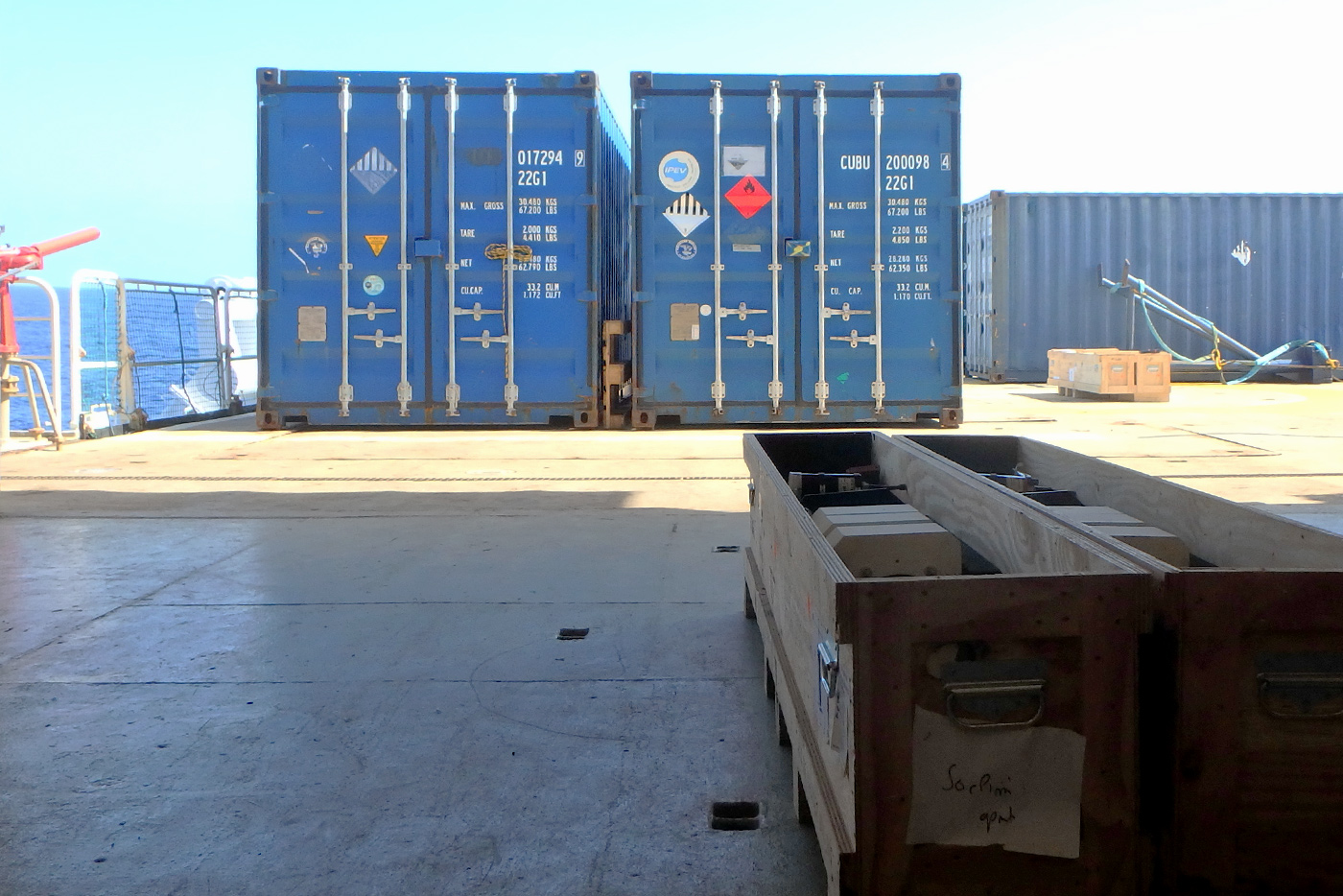
The scientific equipment and supplies required for the SOCLIM field cruise are shipped from the three different labs (LOV, LOMIC & LOCEAN) to Brest where they are all grouped in shipping containers. From there, they will travel by sea to La Reunion Island where they will arrive in late September.


Tuesday, October 4th to
Wednesday, October 5th 2016Mobilisation of vesselLa Reunion Island -21,25°N / 55,33°E
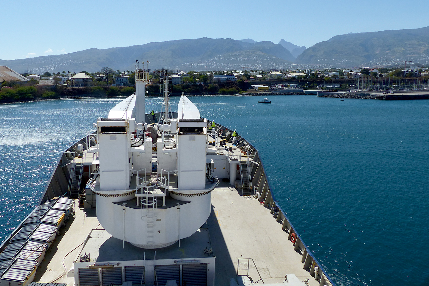
The shipping containers with the scientific material are delivered to the Marion Dufresne in La Reunion.
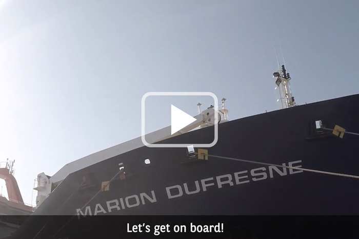
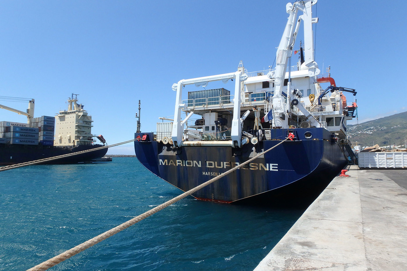
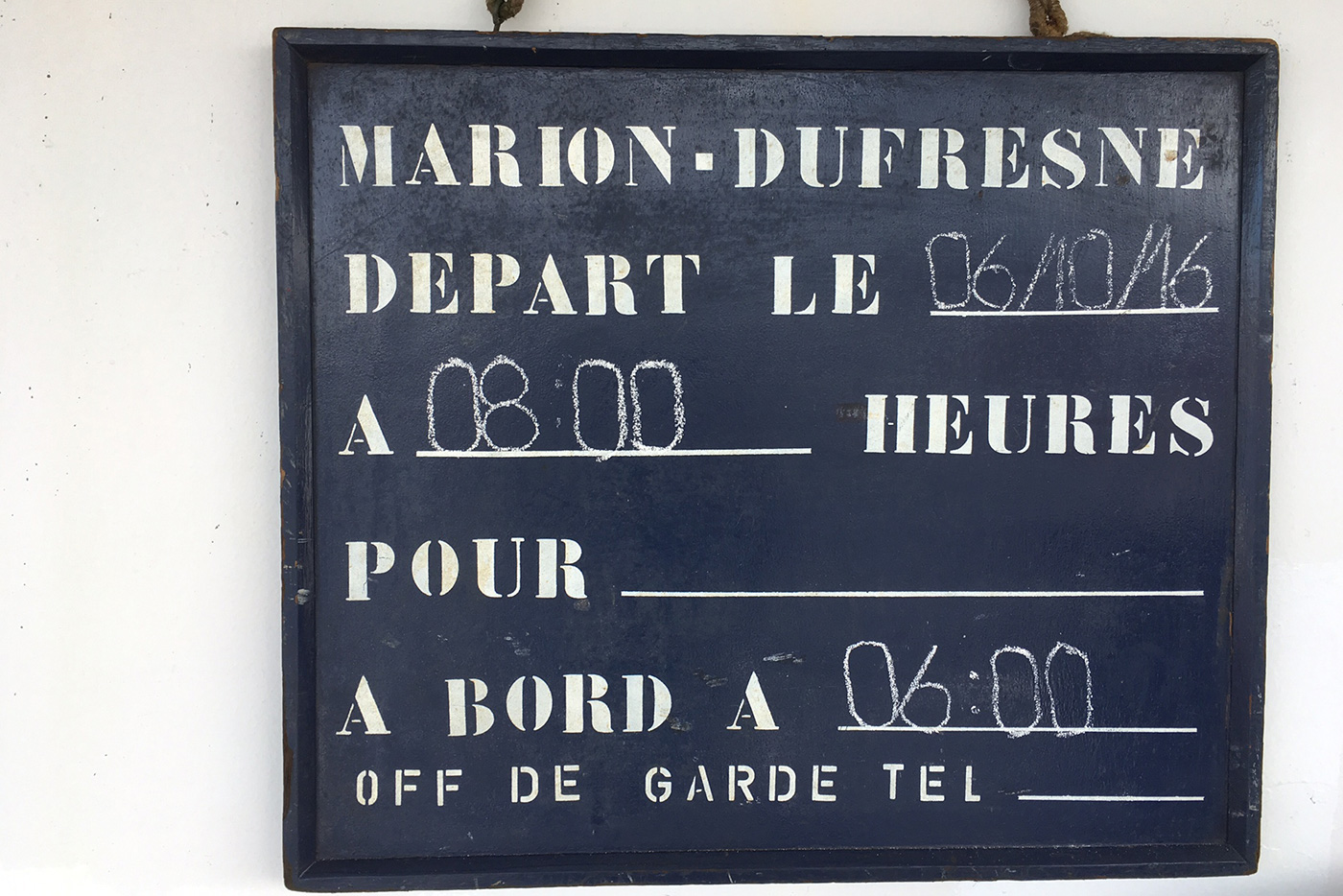
Thursday, October 6th 2016Appareillage 8 am / Departure 4 pmLa Reunion Island -21,25°N / 55,33°E
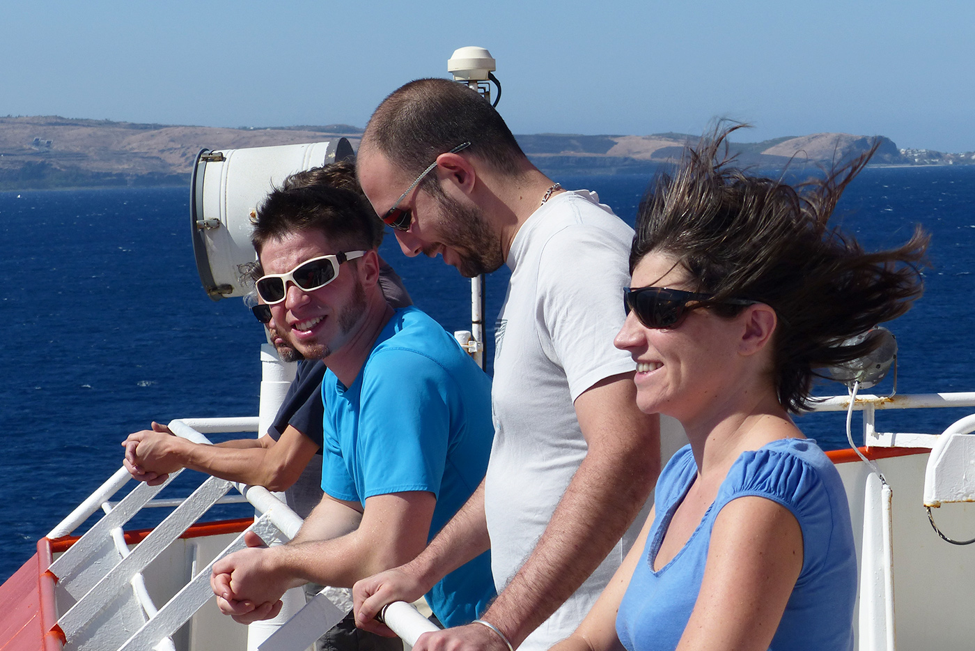
The Marion Dufresne is leaving La Reunion Island. This is the beginning of the SOCLIM cruise...
Friday, October 7th 2016Travel south -24,48°N / 56,71°E
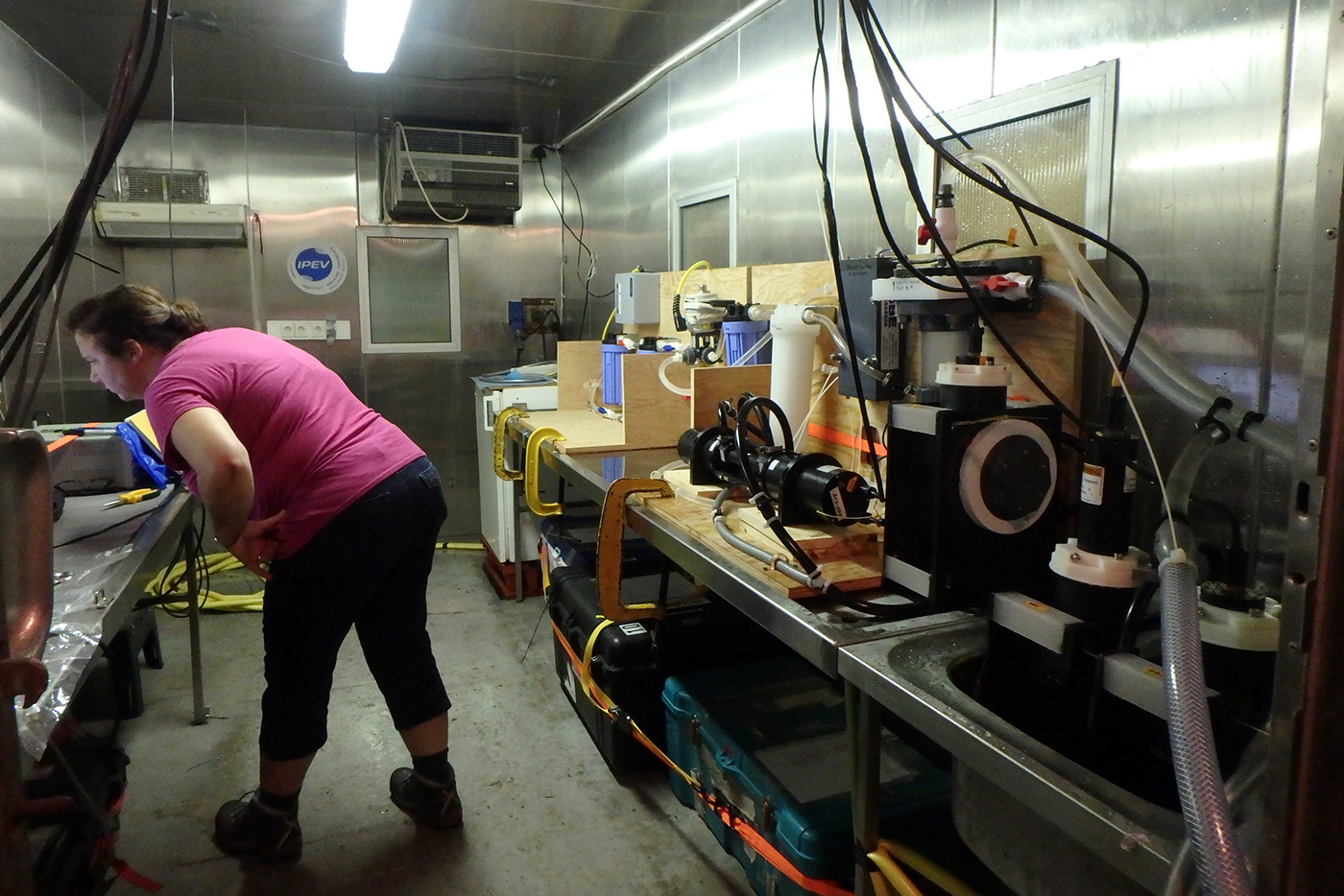
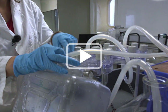
The vessel travels south towards our first sampling station. As the vessel rides, we start to collect surface seawater samples. Such samples will be taken during the entire cruise along the ship's track and used later for chemical, biological, biogeochemical and bio-optical analyses back in the labs.
Saturday, October 8th 2016Station OISO 222 CTD casts -28,99°N / 58,92°E
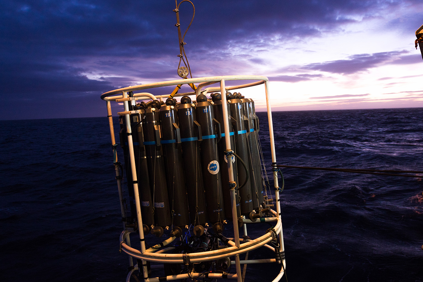
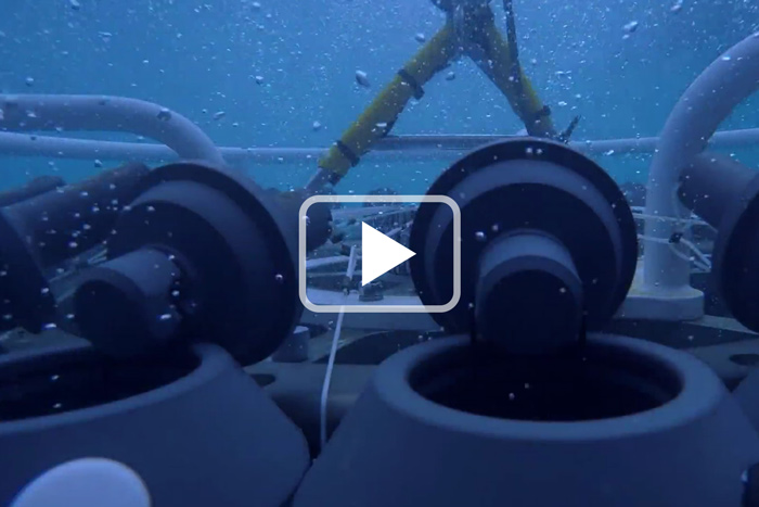
We reach our first station, OISO 22. The station's label refers to the OISO (Indian Ocean Observation Service) long-term program. Here we deploy the CTD-rosette and collect seawater samples for chemical, biological, biogechemical and bio-optical analyses performed on board or later back in the lab. CTD casts and collection of seawater samples will be performed at each and every station we visit.
Sunday, October 9th 2016Station OISO 23CTD cast -34,99°N / 61,99°E
This station is located at 35°S. that is the end of the tropical waters. Seawater temperature has already decresed by 5°C and the water is not so blue as at the previous stations meaning that we are entering in a region with higher biological activity
Monday, October 10th 2016Station OISO 24CTD cast -38,00°N / 63,65°E
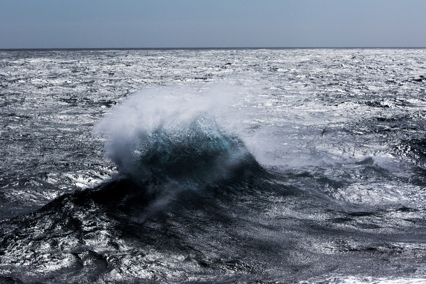
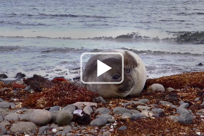
During our travel between stations O23 and O24 we experience our first serious gale. The mean wind speed is 40 knots for a couples of hours. There is no doubt we are entering in the famous roaring forties. This is also confirmed by the presence of the typical seabirds of this region, albatros and petrels.
Tuesday, October 11th 2016SOCLIM cycloneTransit -39,18°N / 64,31°E
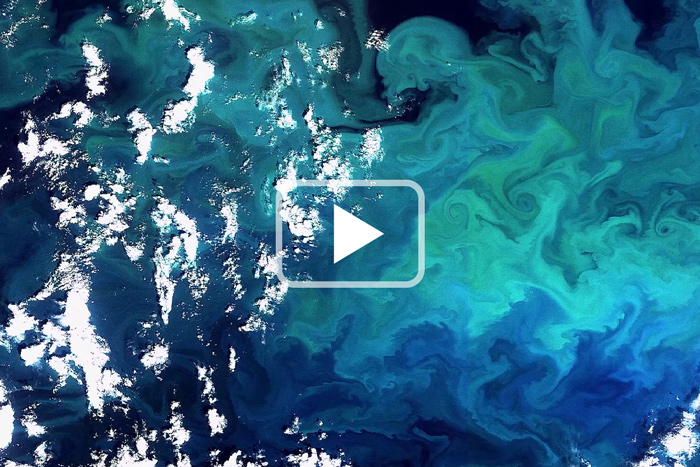
Our travel southward lead us to cross a "cyclone". Fortunatly it was not located in the atmospher. It is a cyclonic eddy located in the water. It was detected thanks the continous monitoring of the seasurface temperature which show the presence of anonalously cold water. The cyclone was named "SOCLIM cyclone". its presence was confirmed by satellite images received few days later.

Wednesday, October 12th 2016Station OISO 25CTD cast -45,00°N / 67,77°E
This is our last station on the way to Kerguelen Island, the seawater temperature is now around 7°C. During the Station we have a close look at the weather forecast for the next days. They indicate that the wind will decrease for a couple of hours before the arrival of massive storm. Therefore we decide to move rapidly to the next station where we will deploy some of the instruments.
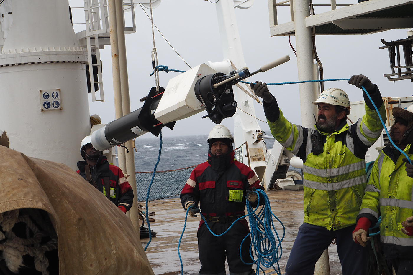
Thursday, October 13th 2016Station A32 Sediment traps + 1 ADCP Mooring -50,68°N / 72,00°E
Our vessel has now reached the eastern side of the Kerguelen Plateau where the waters are naturally enriched in iron, leading to enhanced phytoplankton biomass compared to surrounding waters. Here we deploy three different moorings: two sediment traps that will tell us about the fluxes of particulate organic matter over the next season, and one ADCP (Subsurface Acoustic Doppler Current Profiler) that will measure the currents in the area.
Friday, October 14th 2016Station KER (stand by) Morbihan BayStand by -49,50°N / 70,36°E
As expected, the weather is now pretty rough but we need quite conditions to prepare the instruments for our next deployments. The Marion Dufresne shelters from bad weather nearby the Morbihan Bay on the eastern side of Kerguelen.
Saturday, October 15th 2016Station KER (stand by) Port-aux-FrançaisHiking on Kerguelen -49,36°N / 70,21°E
Sometimes bad wheater is not so bad! Today we are lucky enough to take a Zodiac ride to Kerguelen and go hiking on the island...

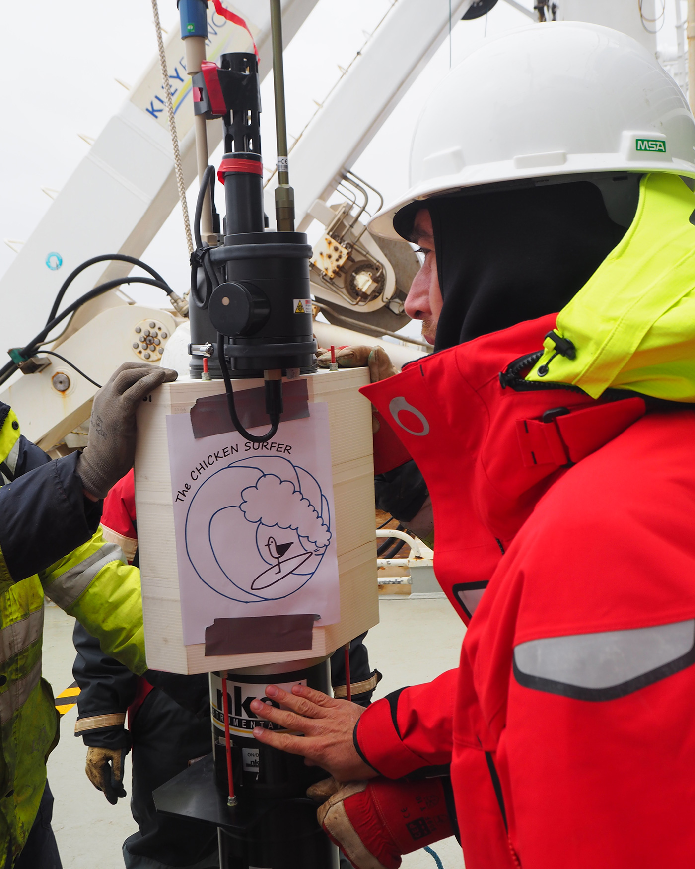
Sunday, October 16th 2016Station TNS06CTD+2 Bio-Argo+1 ProVal -48,78°N / 72,28°E
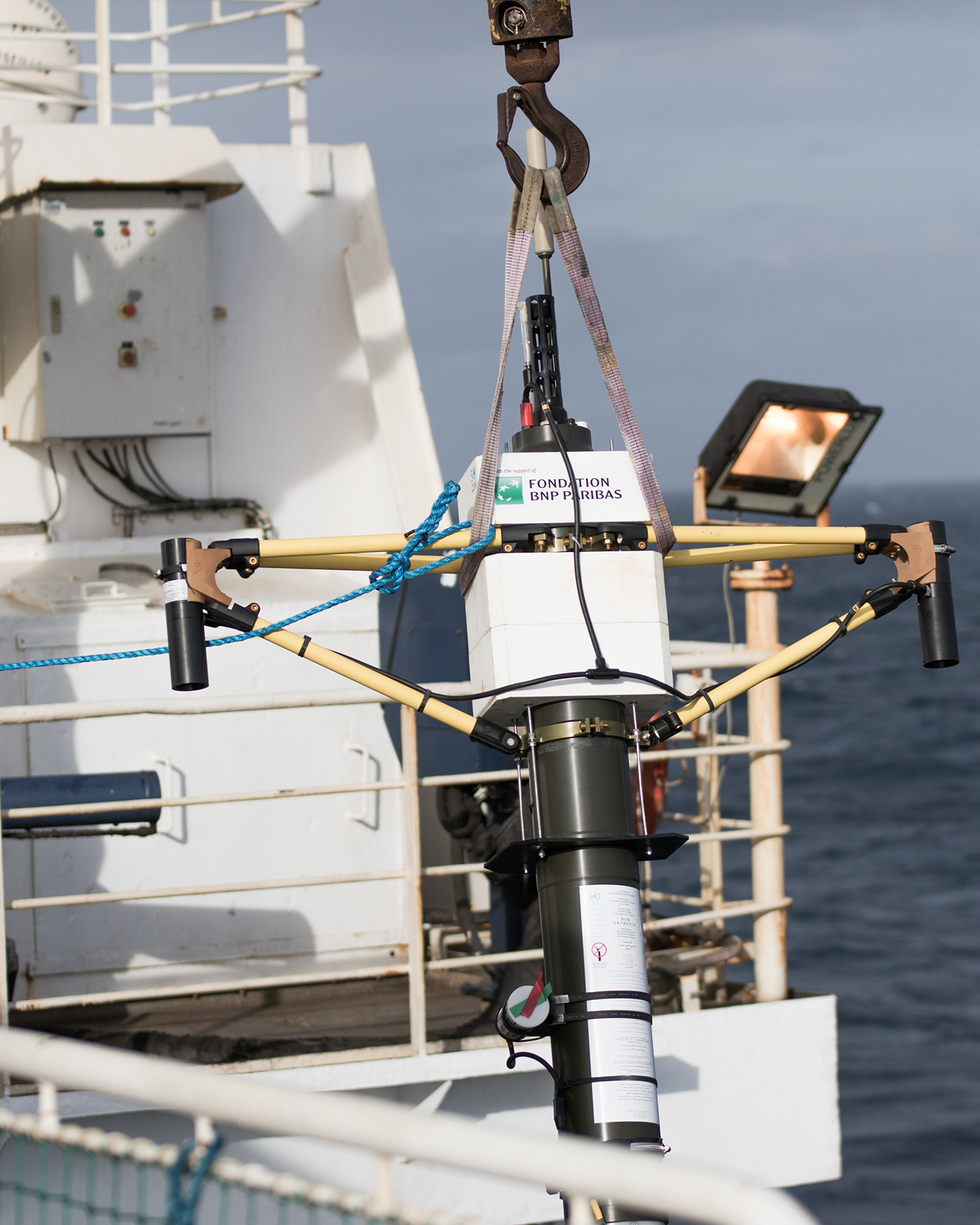
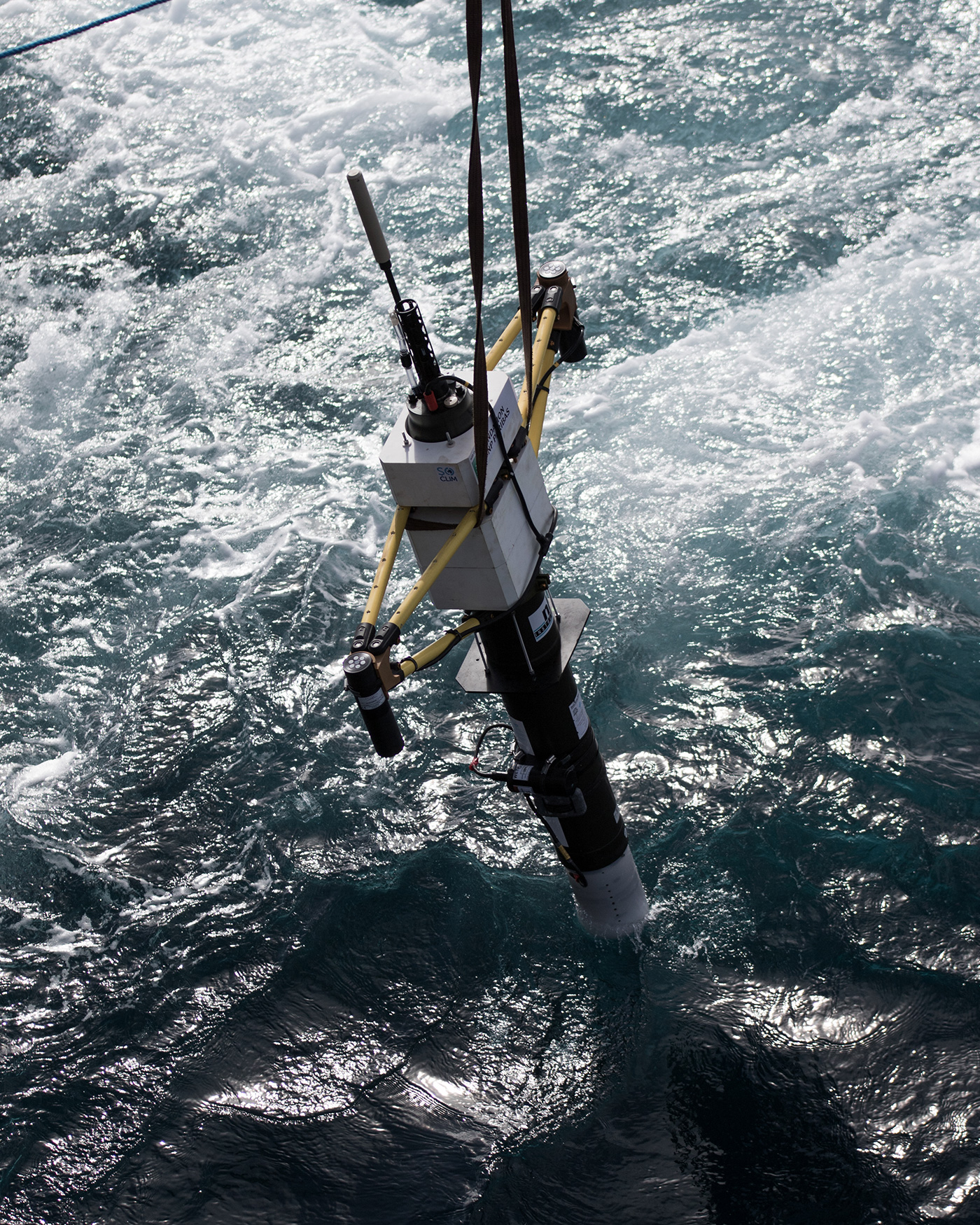
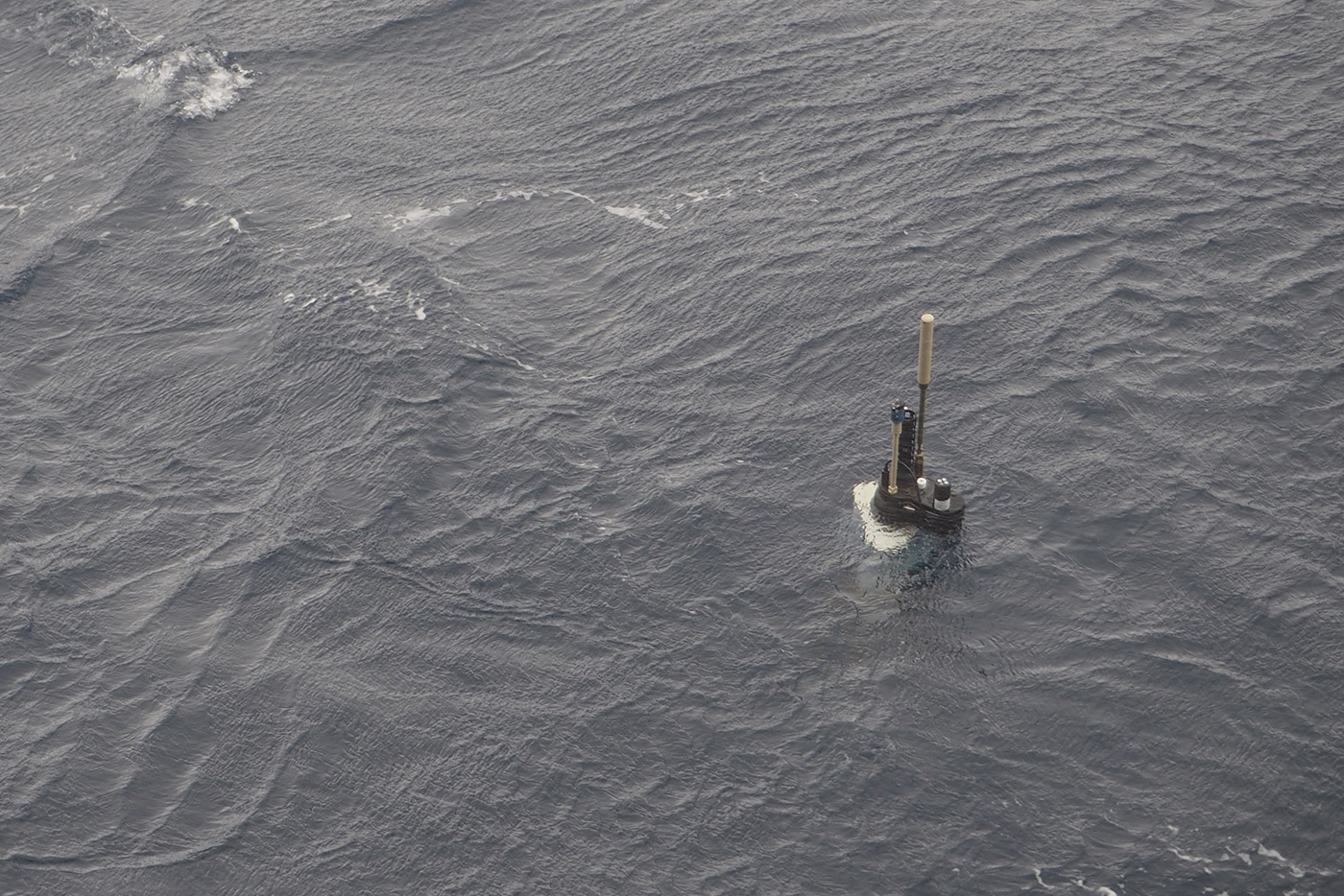
Station TNS-06 reached! Three different Biogeochemical-Argo profiling floats are deployed. They will provide a multi-year time-series of bio-optical and biogeochemical observations in the iron-enriched area of the Kerguelen Plateau. One of them (a "ProVal" float) will also collect data for the calibration of ocean color satellites.
Monday, October 17th 2016Station BDT1CTD 5m + Zodiac sampling and ride -49,5°N / 69,21°E
Strong winds and big swell again! The Table Bay provides us a shelter for preparing the last mooring to be deployed at our next station. We also collect surface samples from two distinct, yet adjacent bodies of water. One shows a blue color typical of open-ocean conditions, the other has a yellow-brown tint that reveals the presence of mineral particles melting down from the Cook Glacier. The Zodiac ride in the Table Bay will likely be one of the fondest memories of the cruise for many of us!
Tuesday, October 18th 2016Station A3_1RAS + CTD 0-500 + 2 Bio-Argo -50,63°N / 72,06°E
We're back at station A3 where we deploy the RAS (Remote Auto Sampler) mooring. The RAS is a multi-instrumented mooring designed to monitor over seasons the biogeochemical properties of the ocean. In this iron-enriched area, we also deploy two Biogeochemical-Argo floats.
Tuesday, October 18th 2016Station KerfixCTD cast -50,68°N / 68,38°E
The name of this station KERFIX means KERGUELEN FIXED STATION. During five years (1990-1995) monthly sampling took place at this station using a small research vessel "La Curieuse". Despite the huge interest of such a time series in the Southern Ocean, it was too difficult to maintain it for a longer period. SOCLIM aims to revigorate the acquisition of time series in this region with a new approach based on instrument mooring and floats
Wednesday, October 19th 2016Station FSCTD + 2 Bio-Argo + 1 ProVal -52,5°N / 67°E
Station FS is located in HNLC (High Nutrient Low Chlorophyll) waters on the western side of Kerguelen. Despite high concentrations of macronutrients (especially nitrates), the biological production is limited, mostly by iron but also by other factors such as light. We deploy three Biogeochemical-Argo profiling floats at station FS, including one ProVal for satellite calibration. We expect the floats to be trapped in a cyclonic structure so they have a chance to follow the same ecosystem over several years.
Thursday, October 20th 2016Station OISO 11CTD cast -56,5°N / 63°E
Our plan at this station is to collect water as deep as possible (around 5000 m). Usually it takes 3-4 hours to accomplish this task. However due to technical problem with the winch we spent more than 8 hours to complete the cast. An exhausting task for the two scientists locked in front of the computer controlling the acquisistion of the data and for the crew staying outside in cold and windy conditions
Friday, October 21th 2016Station SICTD cast+ 2 ProIce -58,5°N / 61,5°E
We are at station SI (Sea Ice) the southernmost station of the SOCLIM cruise. It is snowing. The seaice is only located 100 km southward and the seawater temperature is below 0°C.We deploy two ProIce Biogeochemical-Argo floats at station SI, The ProIce floats have the capability to detect the presence of ice and to stop their surfacing if necessary. These floats should get trapped under the sea-ice cover and collect unprecedented bio-optical and biogeochemical observations in rarely, if ever, sampled winter conditions.
Saturday, October 22th 2016Transit to NorthBIG storm ! -53,74°N / 64,81°E
At this stage we have two options. Either we stay south and wait for the storm to pass north of our location. Or we make our way to the north, hopefully fast enough so the storm passes south of us. After thoughtfull thinking, the captain has decided to go straight north. Unfortunately the storm is moving too fast and is finally "hiting" us...
Sunday, October 23th 2016Transit to NorthBIG storm ! -50,09°N / 65,15°E
The vessel keeps on traveling north as fast as the big swell and strong winds allow.
Monday, October 24th 2016Station A3_2CTD cast -50,63°N / 72,06°E
The weather conditions are still relatively harsh, but back to normal. We visit station A3 for the second time to see if there has been any change in the development of the phytoplankton bloom.
Monday, October 24th 2016Station TNS-08CTD cast -49,46°N / 72,24°E
After the second visit at A3 we know that the objetcives of the cruise are reached. On the way back to la Reunion we decide to sample at to stations that were visited during previours cruise TNS08 and O12
Tuesday, October 25th 2016Station OISO 12Last CTD cast -47°N / 72,22°E
This is the last cast of the cruise. As soon as the bottle are empty the crew encourage us to start to pack evering think. But the SOCLIM eddy is still there and we convice the captain to make a short detour for a second visit in this interesting structure.
Wednesday, October 26th 2016"Remi's Eddy"CTD (physics only) -41,38°N / 65,87°E
Thanks to the satellite images the position and the form of the eddy was determined and we are able to deploy our last CTD of the cruise right in the center.
Thursday, October 27th 2016Transit to Mauritius -38,57°N / 64,39°E
The Marion Dufresne travels north to Mauritius Island. We will keep on collecting our daily surface sample for chemical, biological, biogeochemical and bio-optical analyses.
Friday, October 28th 2016Transit to MauritiusBack in the warm water -33,51°N / 62,33°E
We are now back in the warm water and we appreciate to spend some times on the deck. We also organise several meetings were all the participants of the cruise present the first data and results. We also discuss the future plans for the project.
Saturday, October 29th 2016Transit to Mauritius + Packing -28,64°N / 60,36°E
This is almost the end of the cruise. We start to pack the equipment and clean up the labs.

Sunday, October 30th 2016MauritiusSoutage -23,58°N / 58,4°E
The vessel stops at Mauritius Island for refueling. All the walkways have been cleared and the equipment packed by now.
Monday, October 31th 2016MauritiusTransit to La Reunion -20,16°N / 57,5°E
This last transit take place during the night. We enjoy the calm and warm atmospher of the tropical night. A good opportunity to discover the stars of the Southenr Ocean, to look at the bioluminescent plankton in the wake of the ship and to engrave in night the name of the cruise.
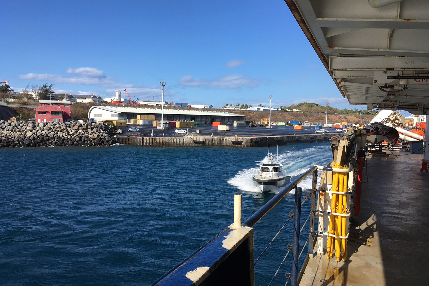
Tuesday, November 1st 2016La Reunion IslandDemobilisation -21,25°N / 55,33°E
The Marion Dufresne is heading back to La Reunion Island. This is the last step of our voyage.
Wednesday, November 2nd 2016La Reunion Island -21,25°N / 55,33°E
All the equipement are now stored in containers to be returned to France. They will arrive two month later in le Havre. But the most precious samples, most of them maintained at very low temperature by dry.ice are send by plane directly to the laboratory. some boxes are also left in La Reunion, because in next April some of us will embark once again on the Marion Dufresne to recover the moorings.
Texts by Julia Uitz & Stéphane Blain | Photo Credits : Julien Boulanger, Christophe Penkerc'h, Mathieu Rembauville,Olivier Crispi | Video Credits : Yseult Berger et Julien Boulanger - Universcience | Made with LOV by Thomas Jessin